
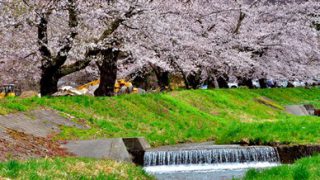
猪苗代町で観る。楽しむ。食べる。泊まる。


![]()
![]() 猪苗代町の観光情報を発信
猪苗代町の観光情報を発信
観光情報をお知らせします

![]()
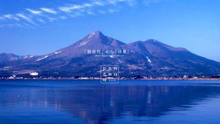
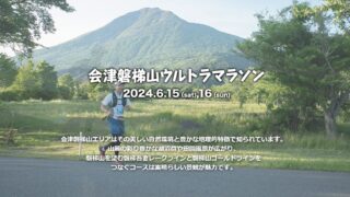
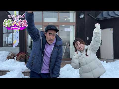
![]() 猪人伝最新動画を公開中!
猪人伝最新動画を公開中!
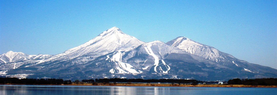
猪苗代町の魅力を動画で体験!
毎月第2 ・第4金曜日に
最新動画を更新!

![]()
![]() キーワードから調べる
キーワードから調べる
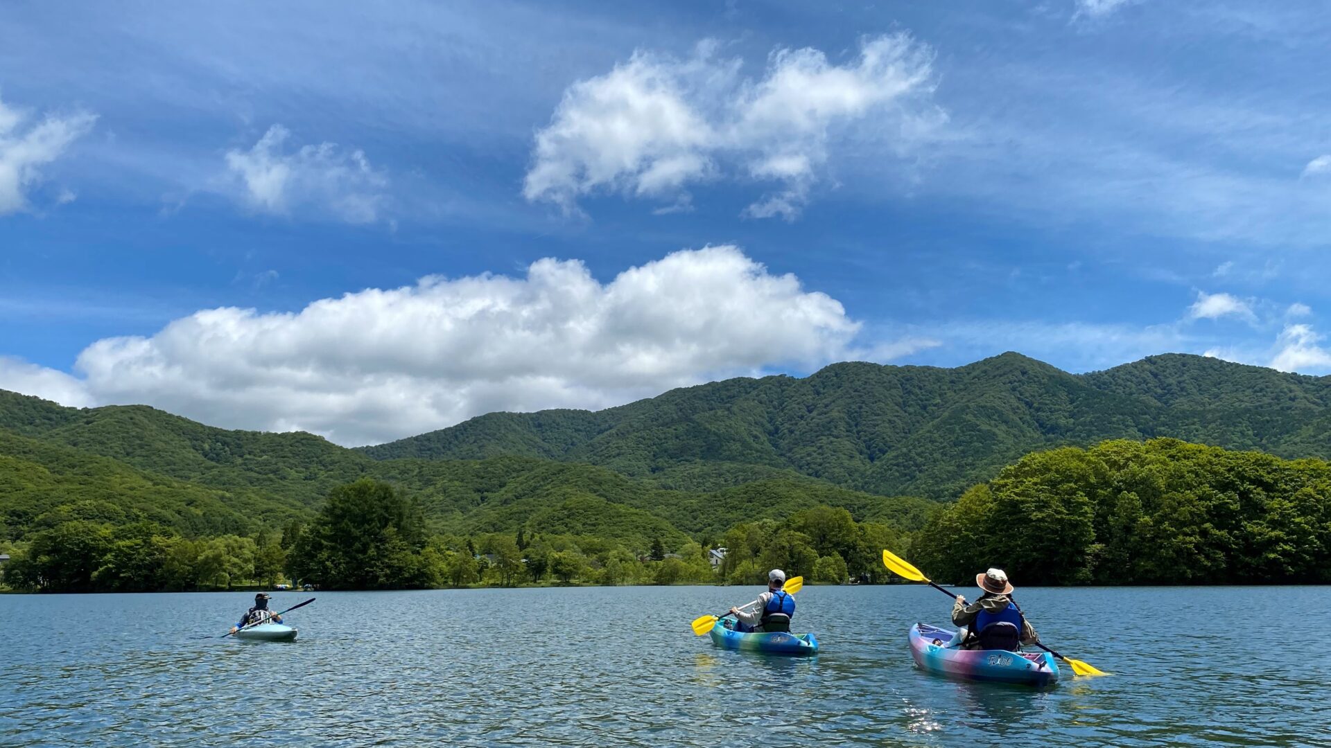
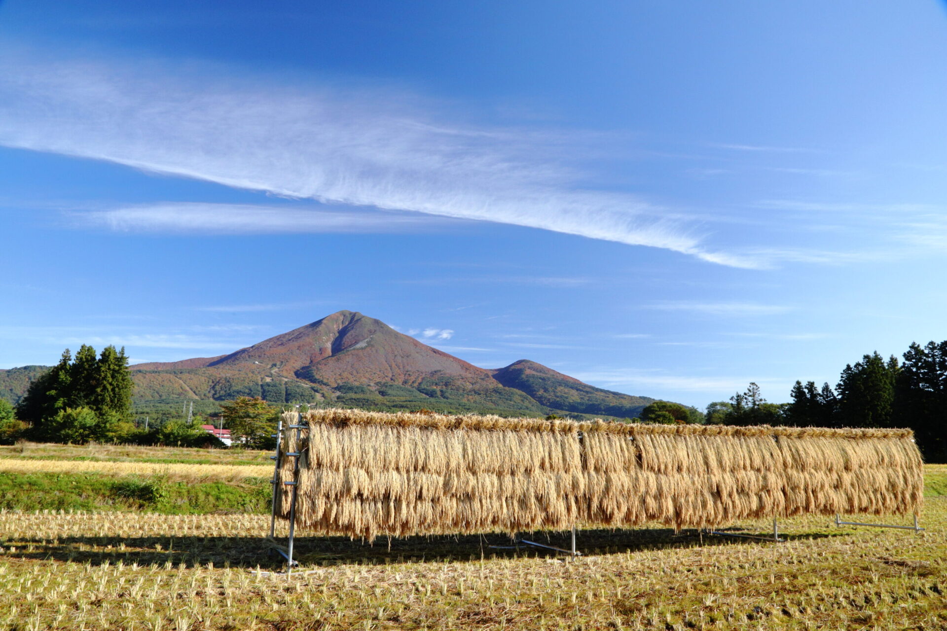
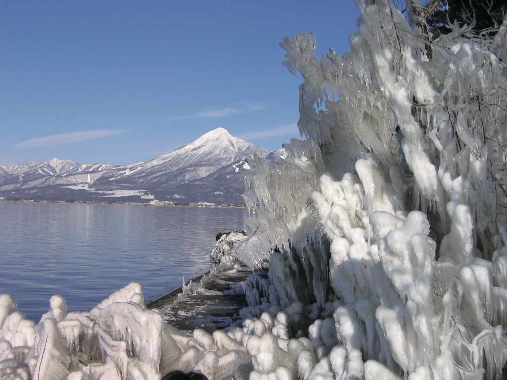
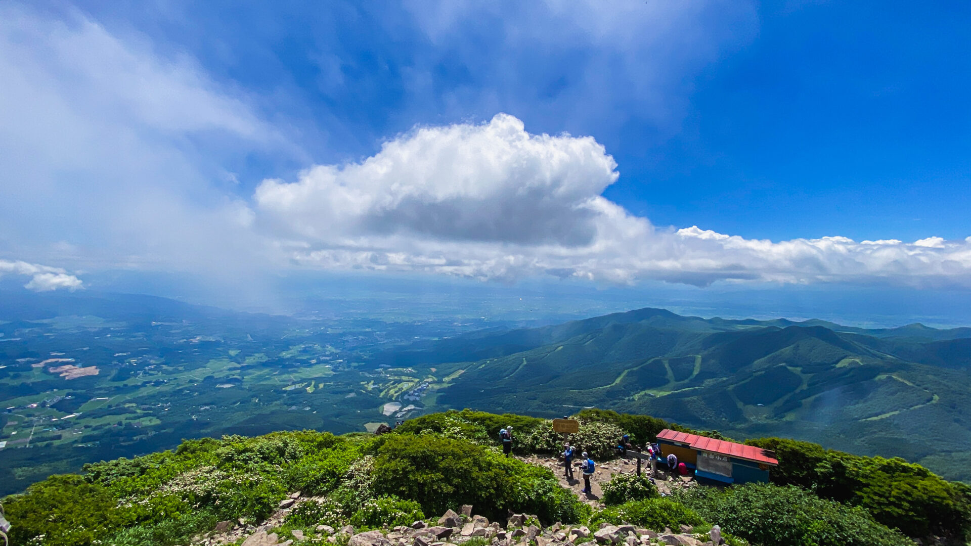
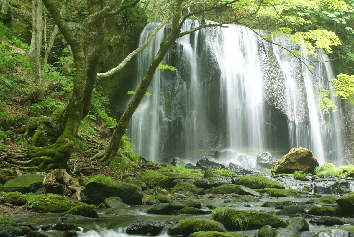
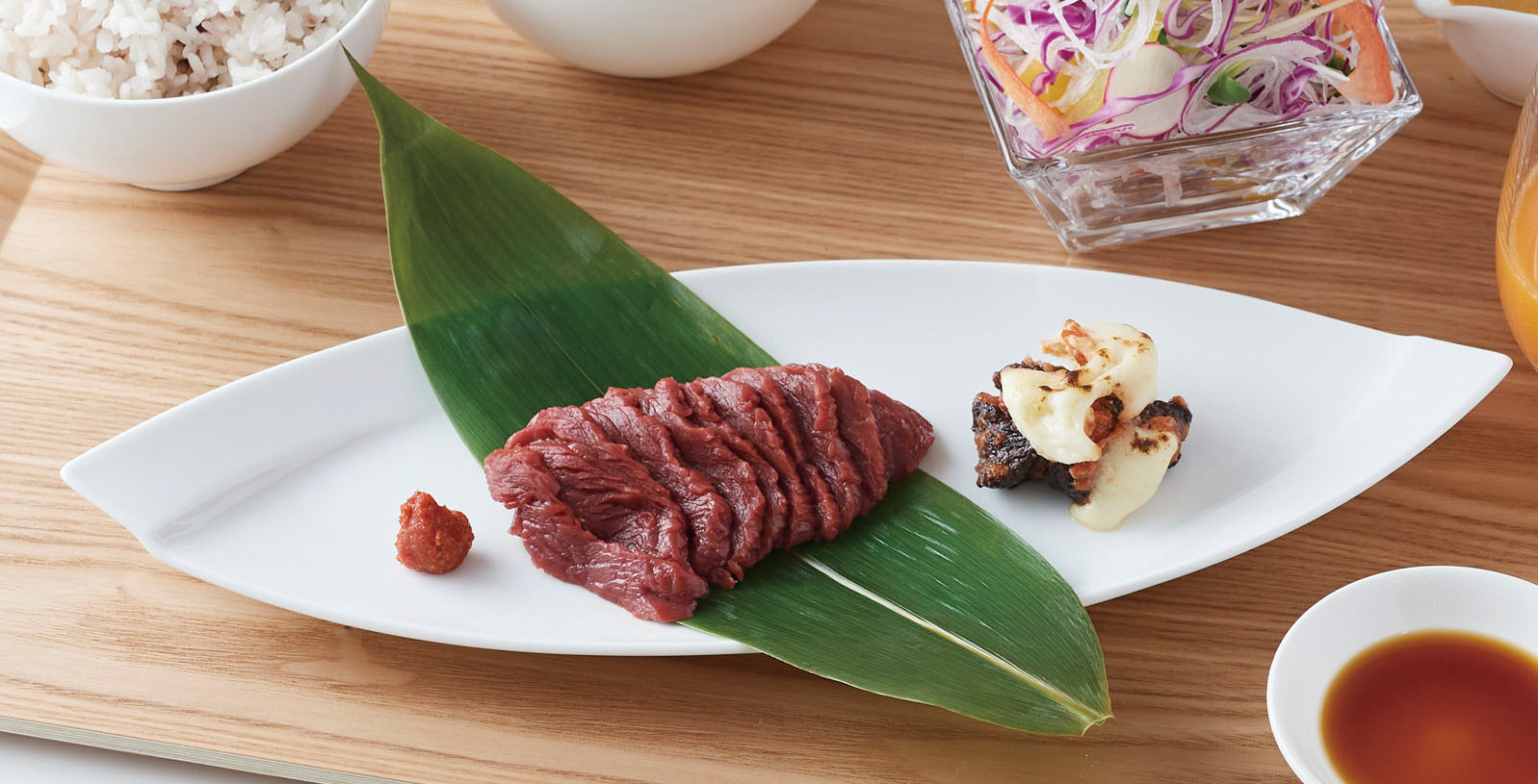
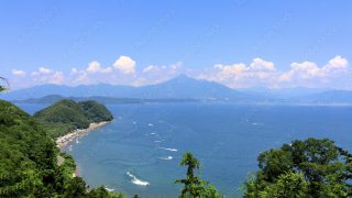
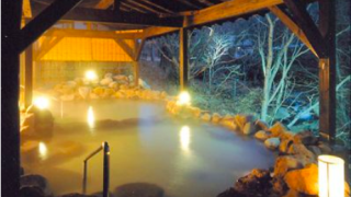
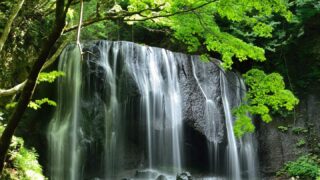
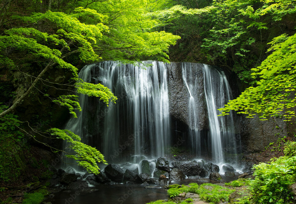
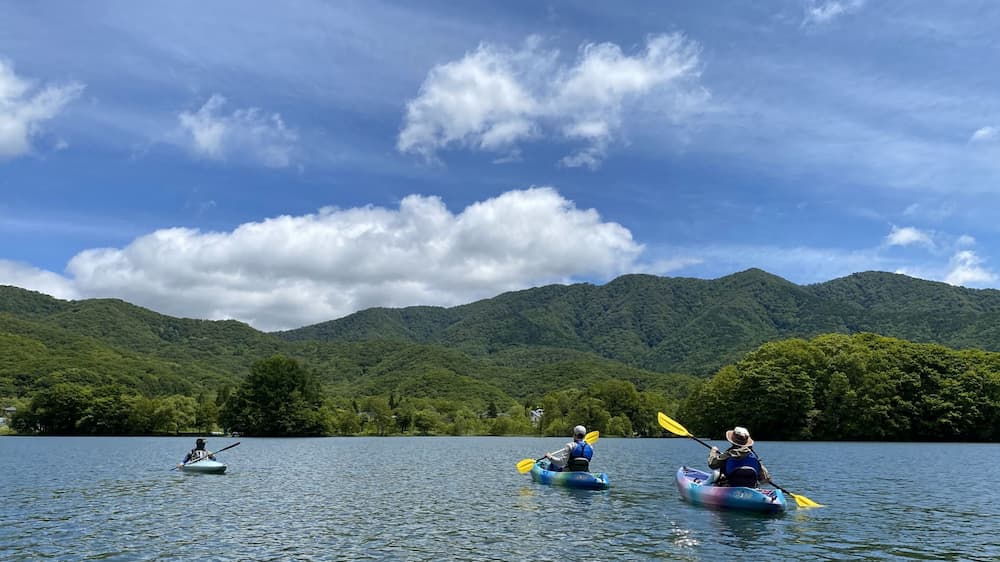
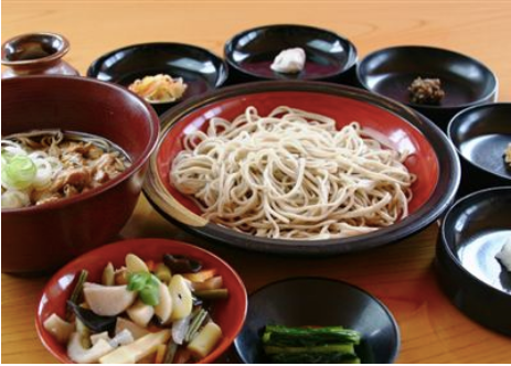
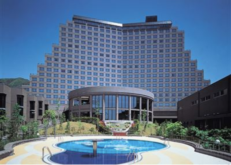
いなわしろ新八景 (9) アート (2) ウォータースポーツ (7) キャンプ (3) ゴルフ (2) サイクリング (3) スキー・スノーボード (6) ソースかつ丼 (13) テイクアウト (32) テントサウナ (1) ディナー (13) ドライブ (1) ランチ (50) 中ノ沢温泉 (9) 伝統芸能 (1) 冬 (3) 史跡 (20) 喜多方ラーメン (3) 夏 (5) 天鏡台温泉 (2) 川上温泉 (2) 押立温泉 (3) 日帰り入浴 (15) 春 (10) 横向温泉 (2) 沼尻温泉 (3) 湖水浴 (5) 湖沼 (10) 滝 (4) 猪苗代三十三観音 (4) 猪苗代温泉 (2) 猪苗代湖 (10) 磐梯宝温泉 (4) 磐梯山麓温泉 (2) 磐梯温泉 (5) 磐梯猪苗代はやま温泉 (6) 社会見学 (11) 神社・仏閣 (7) 秋 (4) 絶景 (8) 翁島温泉 (2) 野口英世 (2) 釣り (2) 馬刺し (4)

![]()
![]() フリーワードで調べる
フリーワードで調べる